ACCESS TO LUCKY BOY MINE
The subject property is located on the southern flank of The Pinal Mountains in southern Gila County, Arizona. Roughly 12 miles south of Globe.
Proceed south on highway 77, just east of Globe. Approximately 16 miles to Dripping Springs Wash Road.
Continue 6 miles on the maintained gravel, Dripping Springs Wash Road, immediately past a small ranch community, then north on Old Pioneer Road (unmarked)
Proceed on Old Pioneer Road 4.5 miles to the property. Immediately proceeding cattle guard, turn left and follow fence line road to project area (fig.4.2)
LOCATION
The past producing Lucky Boy mine is located in the Dripping Spring Quartzite, a formation within the Apache Group of younger Precambrian age, which is exposed in southeast-central Arizona.
The Dripping Spring formation that lies north of the Salt River and east of Tonto Creek contains nearly all Uranium deposits in Arizona, with geological characteristics that resemble those of the Colorado Plateau
The past producing Lucky Boy Uranium Mine is located on the southern flank of the Pinal Mountains in southern Gila County, Arizona. Access is provided by Arizona State Highway 77 to the Dripping Springs Road, approximately 16 miles south of Globe.
GEOLOGY & MINERALIZATION
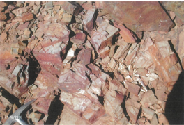
Exposed in outcrop at the past producing Lucky Boy open cut and adjacent slopes are well indurated and strongly oxidized fine grain Sandstones and Siltstones representing the Dripping Springs Quartzite.
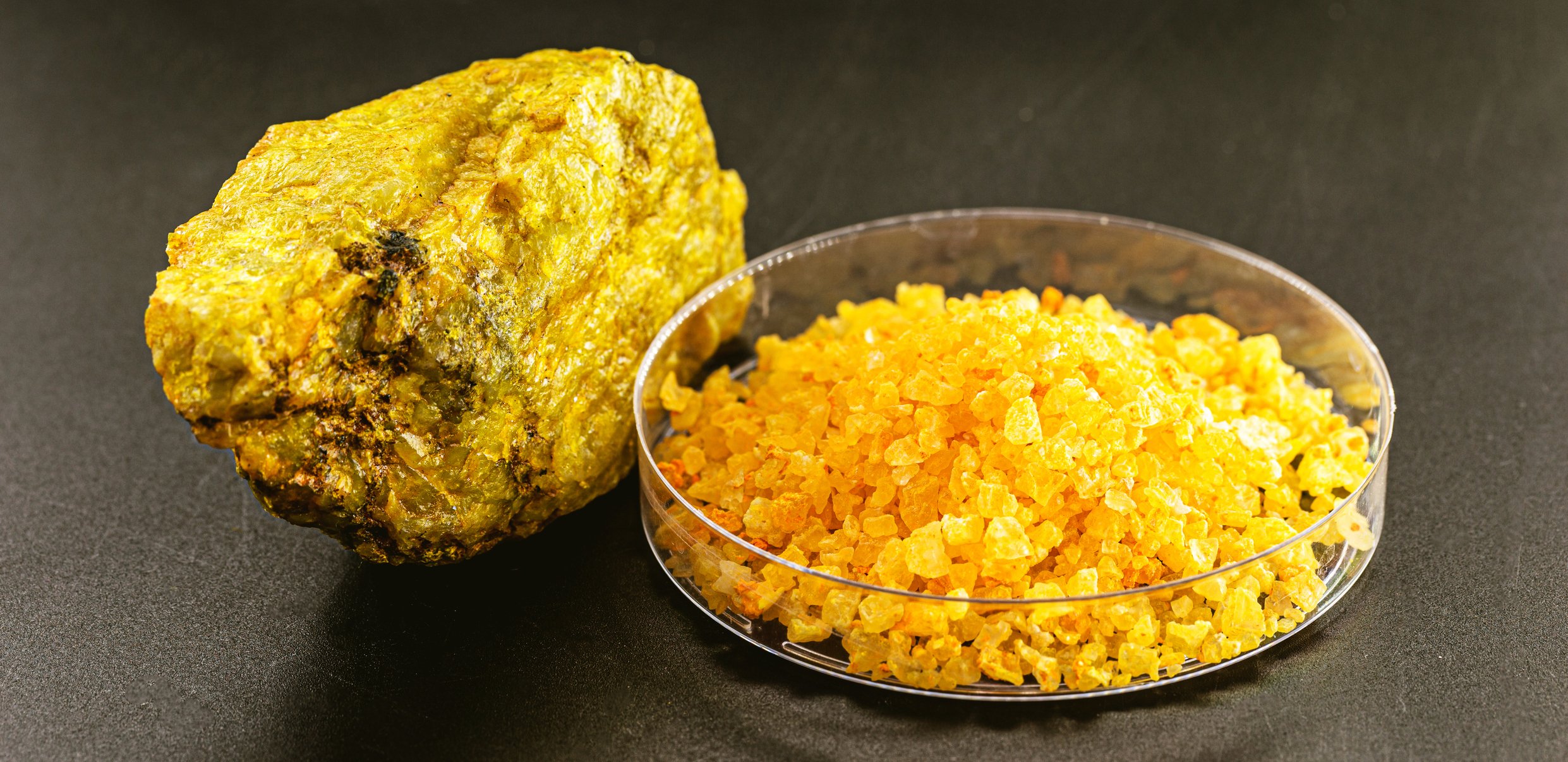
1 - Torbernite (copper uranium phosphate)
2 - Torbernite (copper uranium phosphate)
4 - Fresh Fracture Seam Pyrite
6 - Typical Strongly Oxidized
3 - Pit Area High-Grade Mineralization
5 - Vertical Fracture Torbernite/Limonite/Hematite
7 - Typical Strongly Oxidized
OVERVIEW & HISTORY
LUCKY BOY PAST PRODUCING URANIUM MINE
-

Located in the Dripping Spring Quartzite, in south-east central Arizona
-

The Dripping Spring Quartzite contains nearly all of Arizona’s Uranium deposits
-

Historically, the past producing Lucky Boy Mine has been fairly extensively explored and has seen two periods of production
-

During 1956-57several audits are reported to have yielded 2336 tonnes of shipping ore with an average grade of .17% U308.
-
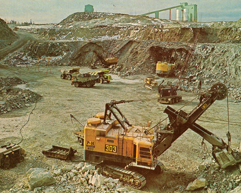
Work during the 1970’s included an open cut mine and a fully operational leach recovery system.
